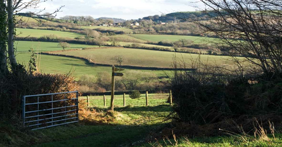
Walk 4: TANSEE HILL TO YEW TREE FARM
Distance: 3.58km/2.22 miles
All walk descriptions © Eve Higgs
TVT Walk 4 Map
TVT Walk 4 pdf
This walk takes you across Thorncombe vicarage’s former glebe, crosses the King's
Highway and follows part of the Monarch’s Way, a long-distance footpath, which commemorates
the escape route Charles II took into exile in France in 1651 following his defeat
at the Battle of Worcester.
For more information on the Monarch’s Way go to: http://www.monarchsway.50megs.com/index.html
1. With the church on your right walk up Chard Street for a few yards and go through
the gate on your right into the overflow churchyard. Follow the path, go through
the kissing gate and head diagonally across the church car park and go down the alleyway
directly ahead of you on to Tansee Hill named after Tansee Close. The estate was
built in 1988 on Thorncombe vicarage’s former glebe. Cross the road and keeping the
hedge on your right follow the path through the gate. Keeping the hedge to your left
cross the field until you get to a stile.
2. Once over the stile veer diagonally right and head for the stile in the right
hand corner of the field. Climb over the stile (bit tricky) and keeping the hedge
to your right follow the path until you reach a rickety stile next to a wooden gate.
Climb over the stile and veer right. Go through the gateway, turn left and go through
the gate crossing the stream. Aim for the stile ahead. Climb over the stile and keeping
White Rose Farm to your right and the sheds to your left head follow the path on
to the road.
3. You are now in Holway which was part of the King's Highway ,which dates back to
the Middle Ages. It ran from Venn to Thorncombe Thorn and beyond. Parishioners were
legally obliged to maintain these roads and fined if they fell into disrepair. Holloways
are found across the west country, nestled between high hedgebanks. Hooves of animals
being herded to market eroded the soil creating its characteristic 'u' shape. The
field next to White Rose Farm is called Drowwers Close, a misspelling which recalls
the west country burr and was probably used as a regular overnight stop by drovers,
herding animals across long distances to market.
4. Turn right and then left down Saddle Street. Follow the road past Upperfold House
on your left.
(Story of Upperfold House) Until the 1980s its Georgian facade hid the remains of
two 17th century cottages. Follow the road until you reach Yew Tree Farm where there
are several small self catering units. Keeping the farmhouse on your right head
for the gate which opens on to a track.
5. Follow the track through three fields passing through three gates. You are now
in Starve Acre where beasts destined for the slaughterhouse were kept overnight with
only water to drink from the nearby stream. Butchery is one of several trades which
also included shoe making and flax dressing practiced in Thorncombe during the 19th
century. Look out for the stile in the right hand hedge. Climb over it. You are now
in ‘The Dungeon’, where the doomed animals were mustered in single file for the final
part of their journey. Follow in their footsteps over the stile, follow the path
keeping the wood on your right, pass through the gateway with the cattle trough and
head for the stile in the right hand corner of the field. Climb over it.
6. You are now in Witty’s Lane, which leads down to High Street. Turn right then
left down Chard Street to return to the start of your walk outside the church.